STRATA
Custom Climate Security Analytics
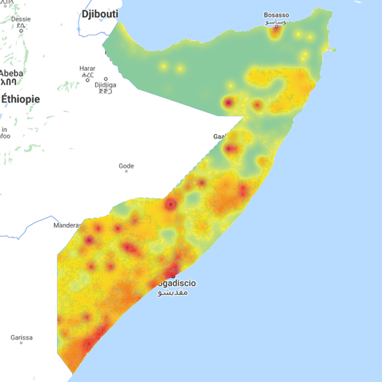
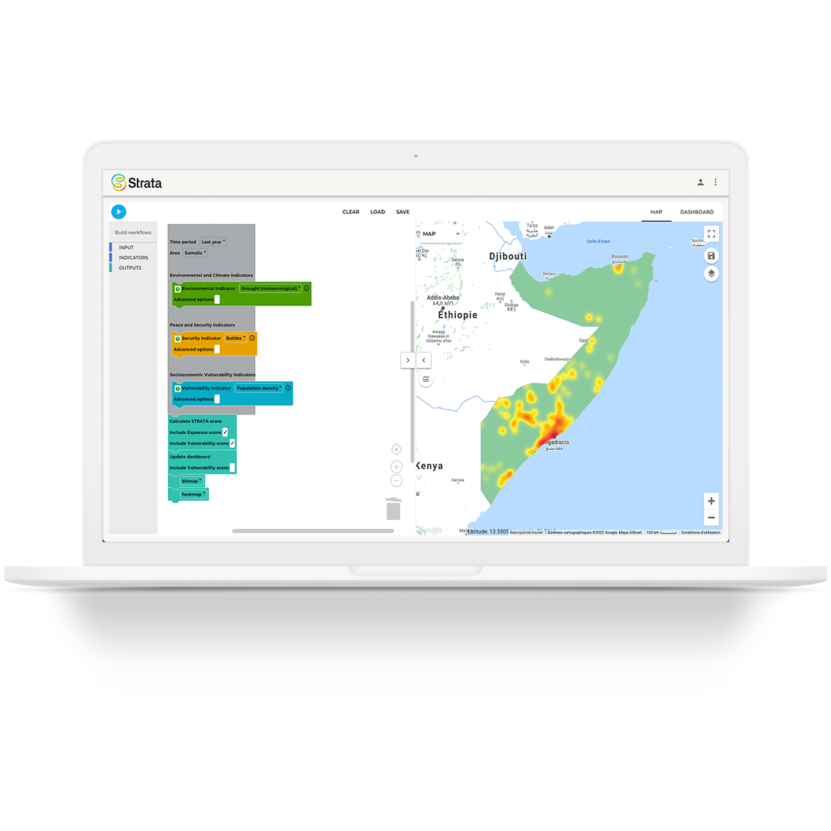
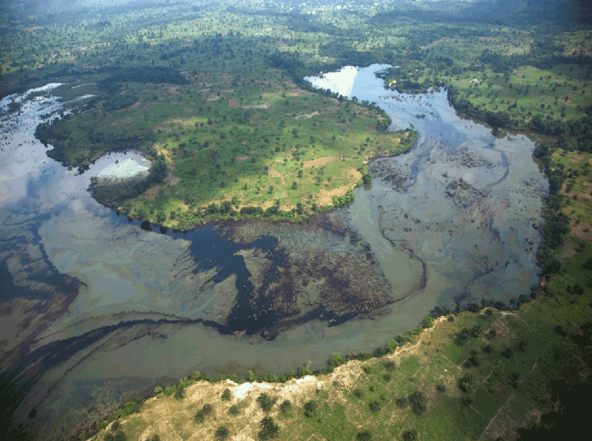
Strata is a geospatial data platform that supports practitioners and policymakers to identify and track environmental and climate stresses potentially driving threats to peace and security. Strata allows analysts, policy makers and practitioners to access and use climate security data in their daily work, including to raise awareness of converging risks, to design and prioritise policy and programming responses, and to monitor and evaluate interventions.
Strata is entering a new phase of development! During this time, access to the prototype platform will be paused. We apologise for any inconvenience this might cause. In the next phase of development, Strata’s geographical coverage will be expanded and state-of-the-art features will be added to strengthen responses climate-related security risks. Strata is more than a platform. Learn about the Strata project and methodology to assess and visualise overlapping climate-related security risks here.
- UN Climate Security Mechanism toolkit: Overview, Briefing note, Conceptual approach, Data sources, Conflict analysis checklist
- Conflict and Environment Observatory
- Weathering Risk
- Water, Peace & Security forecast for risk of conflict over the next twelve months
- The Global Conflict Risk Index
- Ecological Threat Register
- ND-GAIN Country Index

Contact: strata@un.org